This post is inspired by my fascination with drone photography. Drones have the power to take the most fabulous, crisp photographs at high altitudes. As great as drone photography is, it is a rather new form of photography that has become popular only recently. This got me wondering how one would take an aerial photograph before the time of drones. I imagine that a lot of the photographs I found were taken from tall buildings. I’ll let you explore these photographs and make your educated guesses!
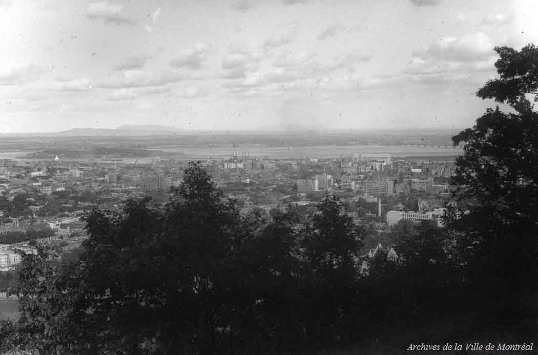
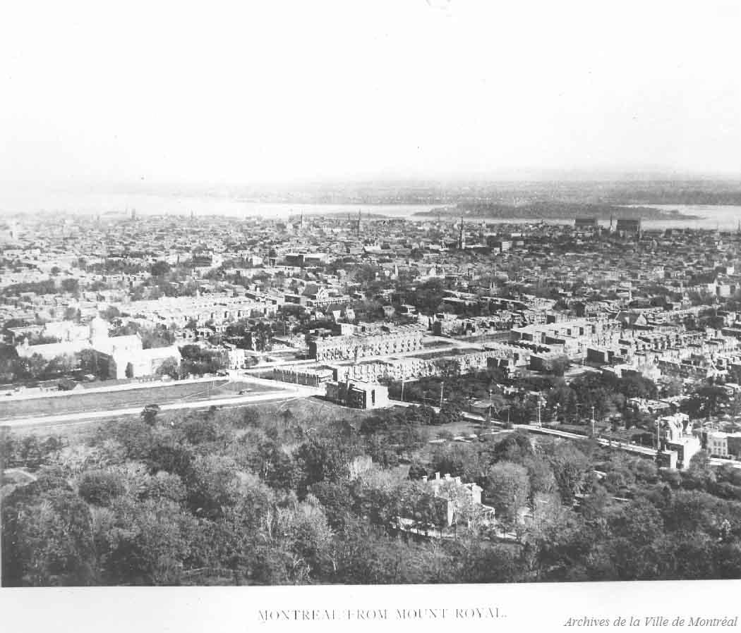
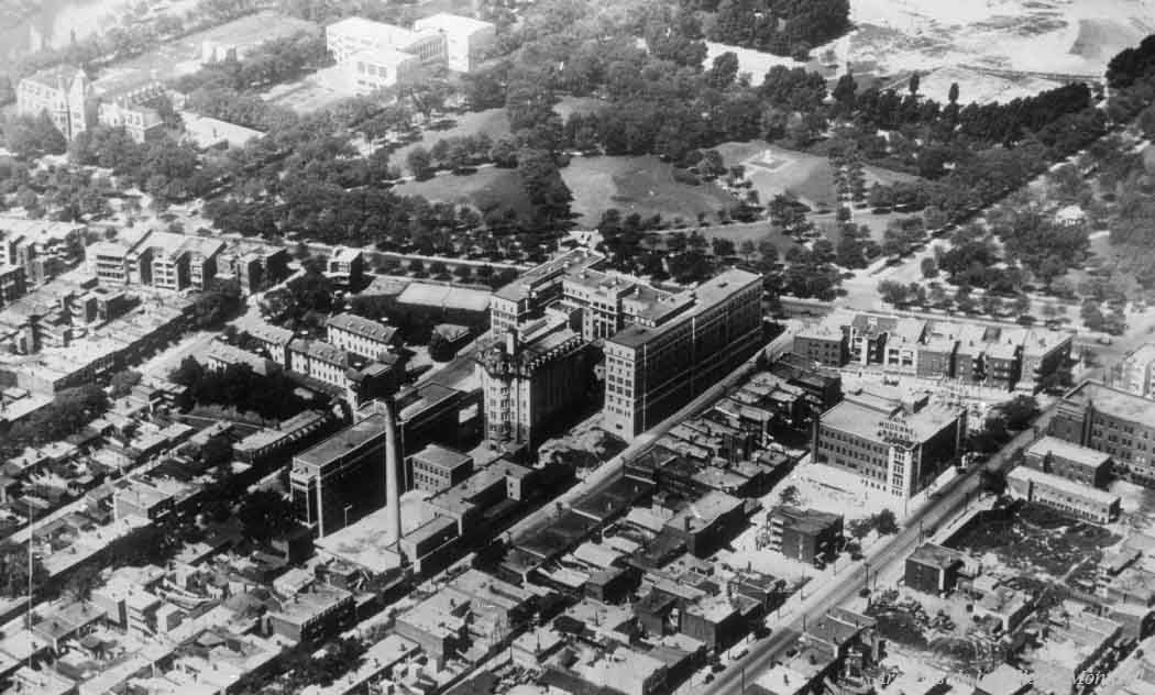
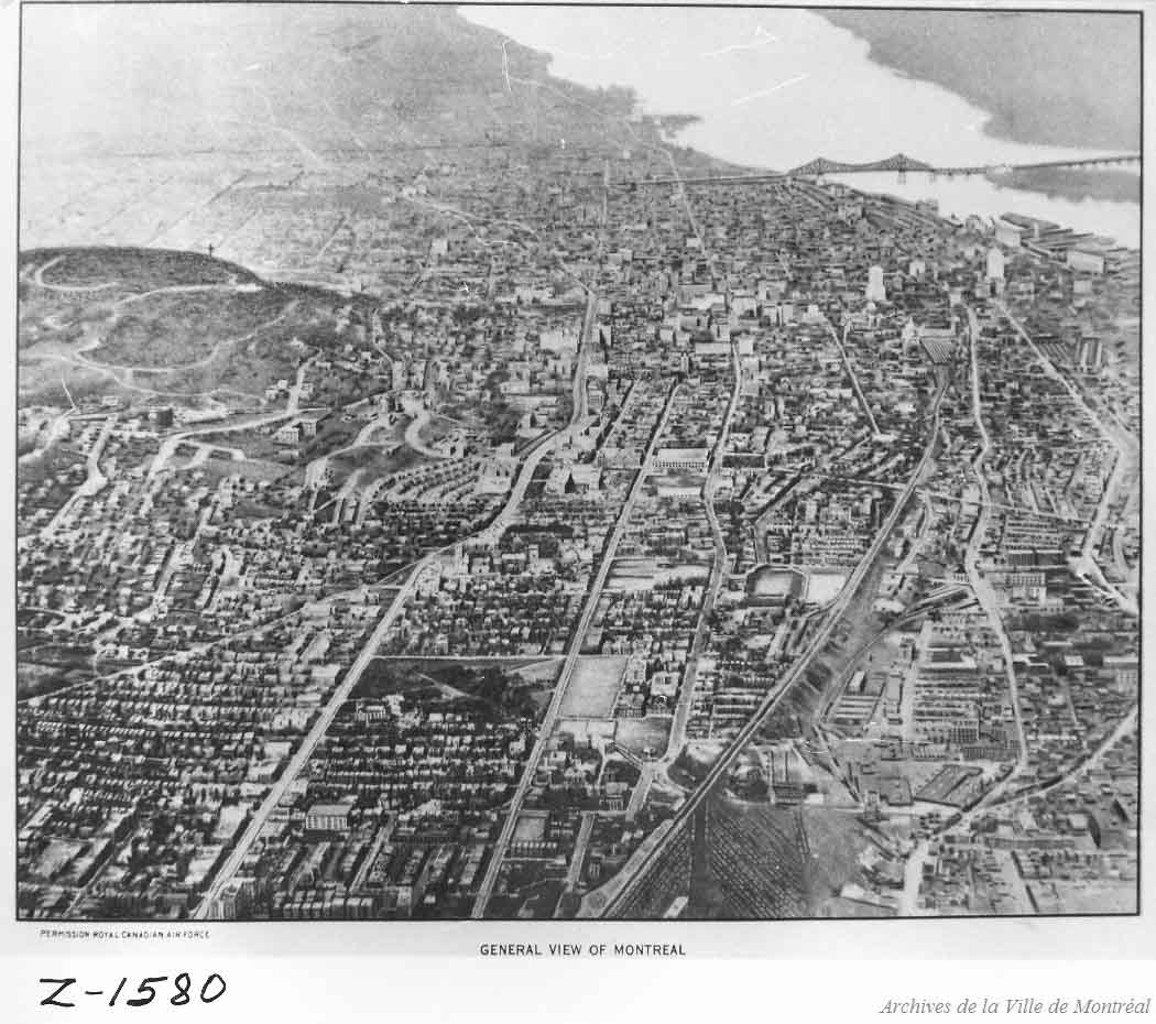
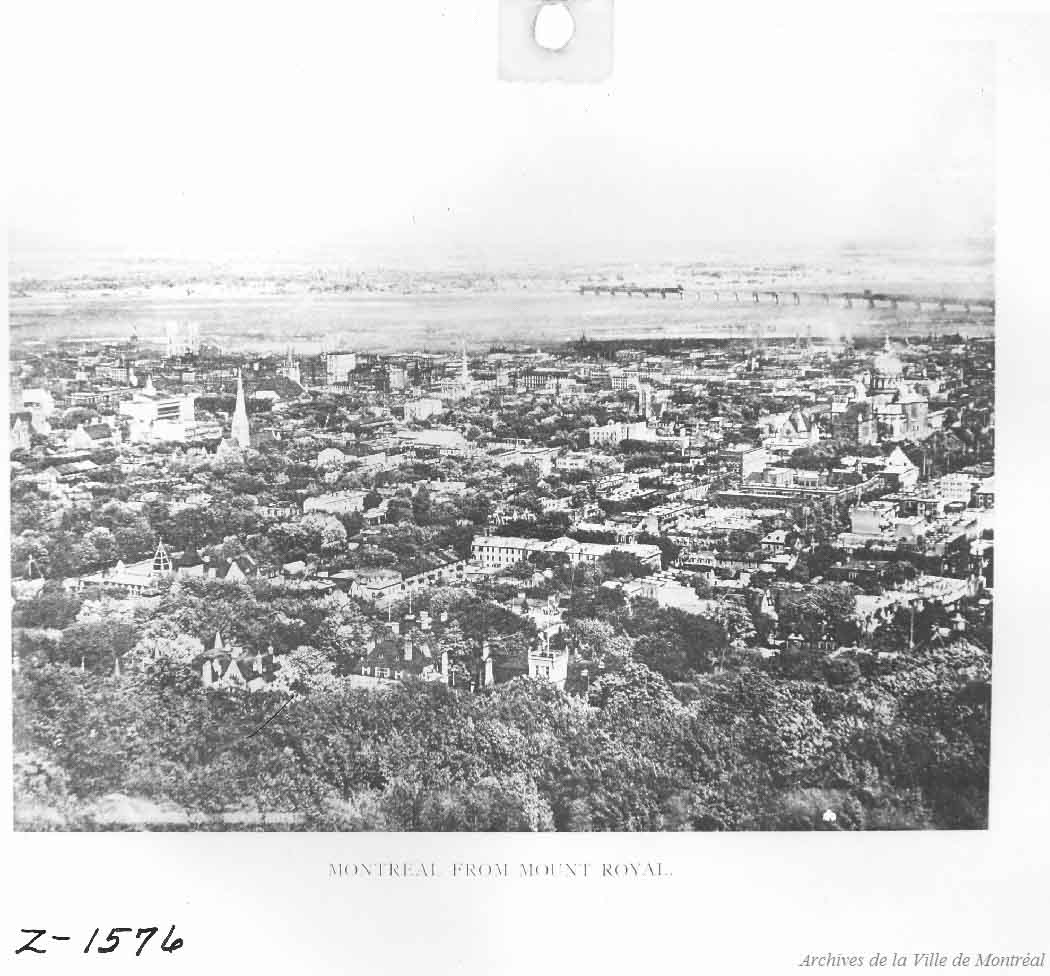
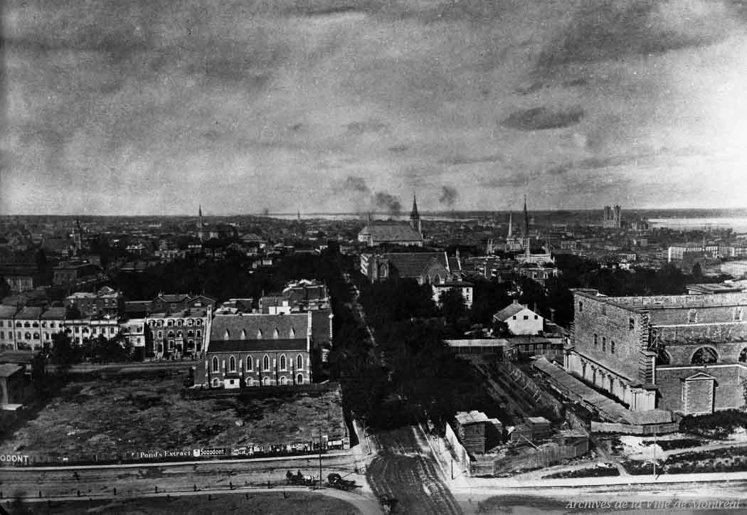
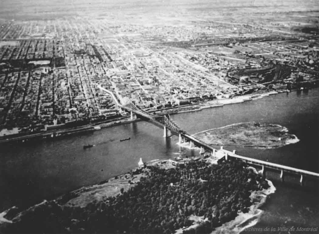
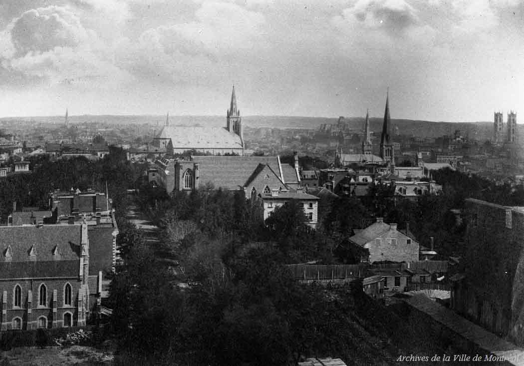
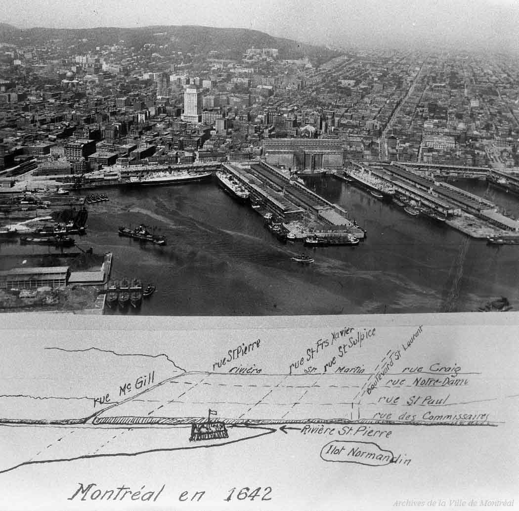
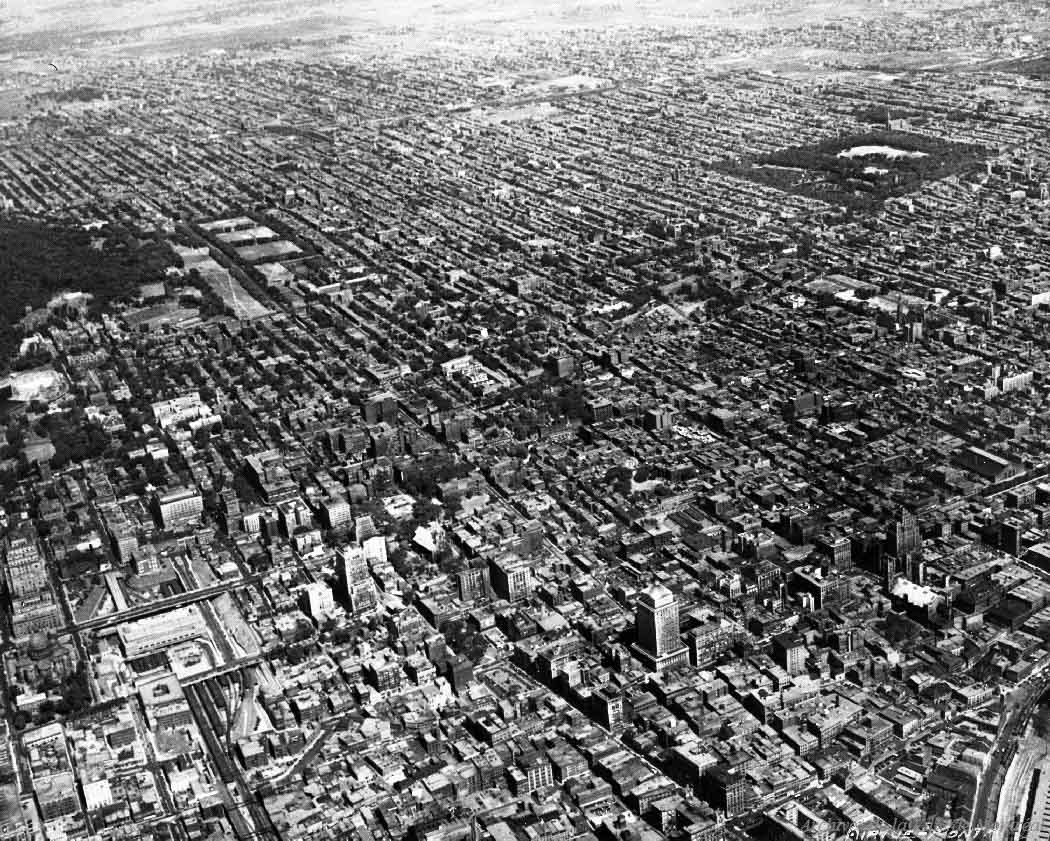
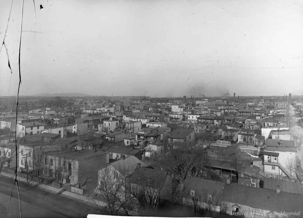
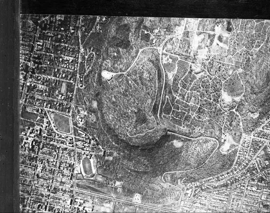
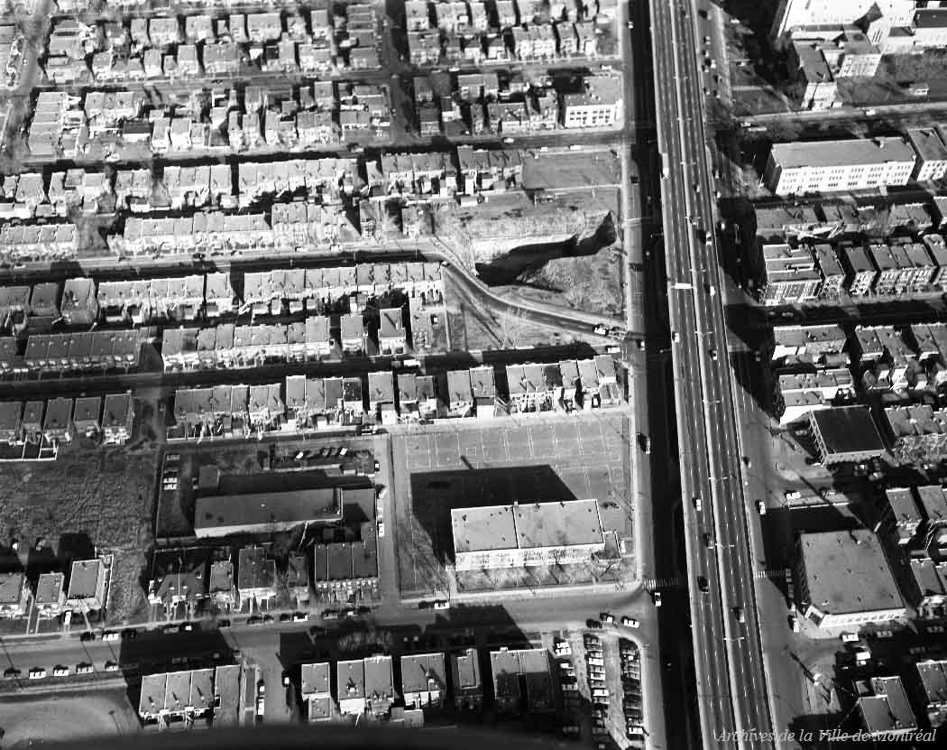
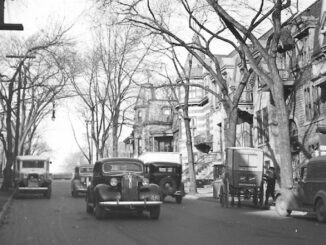
1925 – Photograph of Montréal taken from Mount Royal. It shows trees in the foreground, the St. Lawrence River, and Montréal’s south shore in the background.1930 – Aerial photograph of eastern Montréal, from Mount Royal.1930 – Aerial photograph of Montréal. It mainly shows the Notre Dame hospital, La Fontaine Park, and the Modern Bread bakery.1930 – General view of Montréal.1930 – Photograph of downtown Montréal, west side, from Mount Royal.1935 – Photograph of Montréal taken looking southeast. It shows the construction of the Saint-Jacques-le-Majeur Cathedral (now the Marie-Reine-du-Monde Cathedral) and the Notre Dame Basilica in the background, on the right.1940 – Aerial view of the Jacques-Cartier Bridge.1940 – Montréal: View near Dominion Square.1942- Photograph of the port and a section of Montréal. The photograph is accompanied by a sketch representing the port of Montréal in 1642.
The side-by-side comparison of this photograph is fascinating. It shows the evolution of one era to the next!
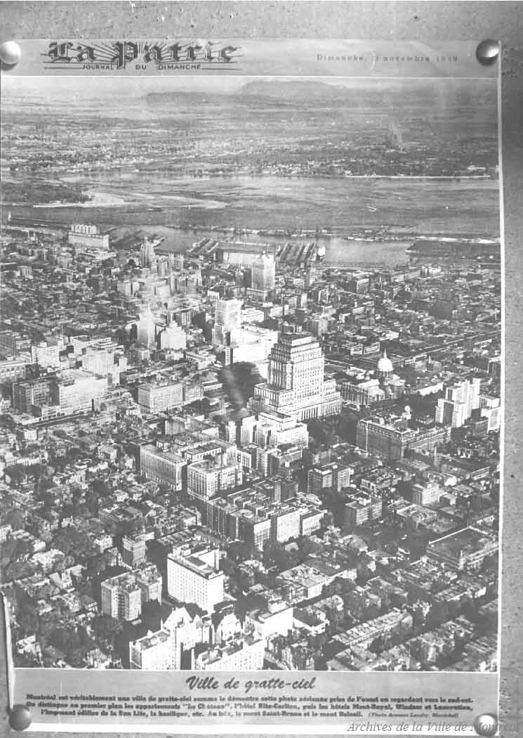
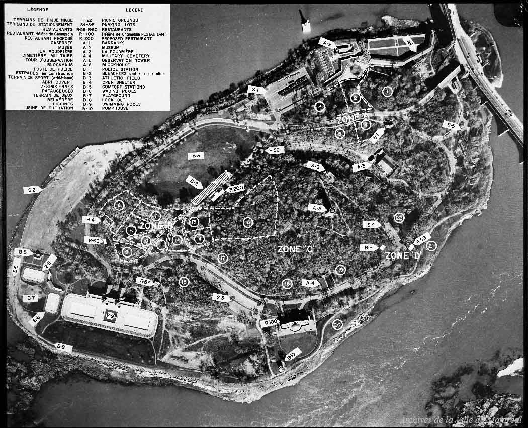
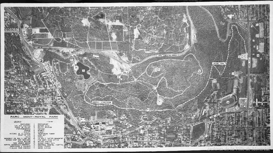
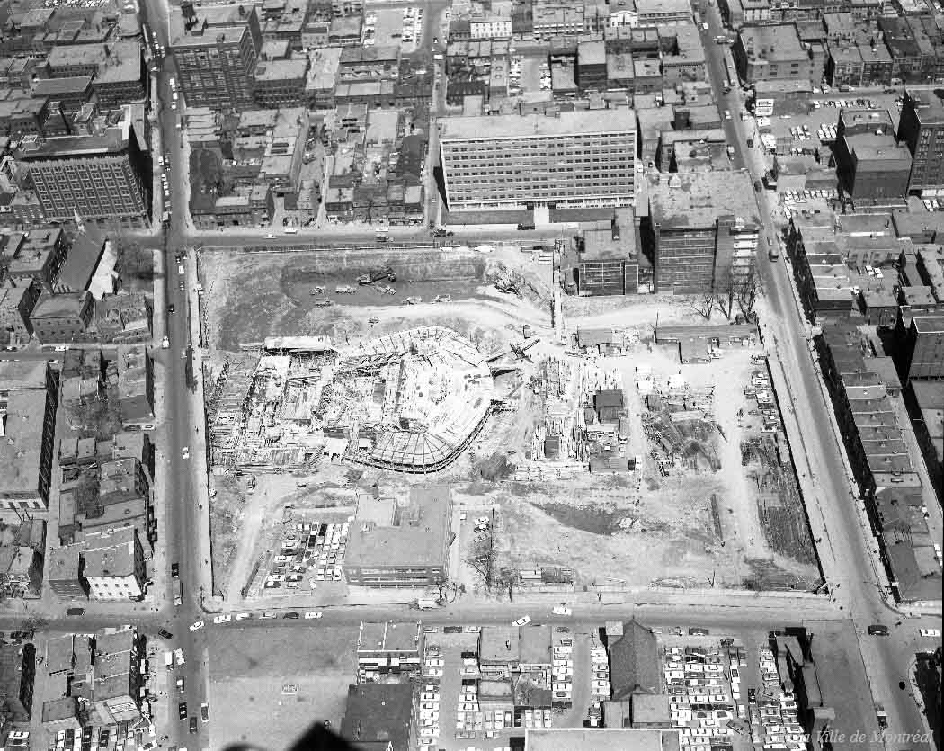
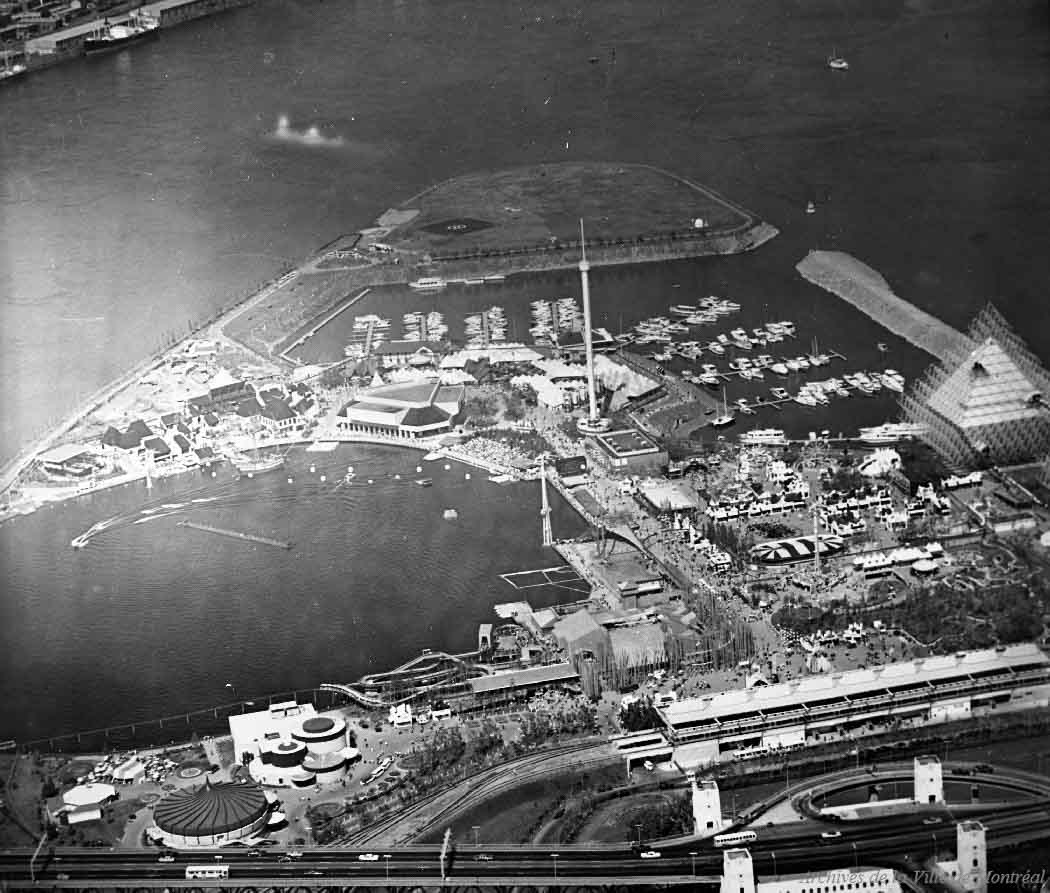
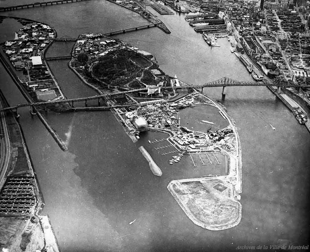
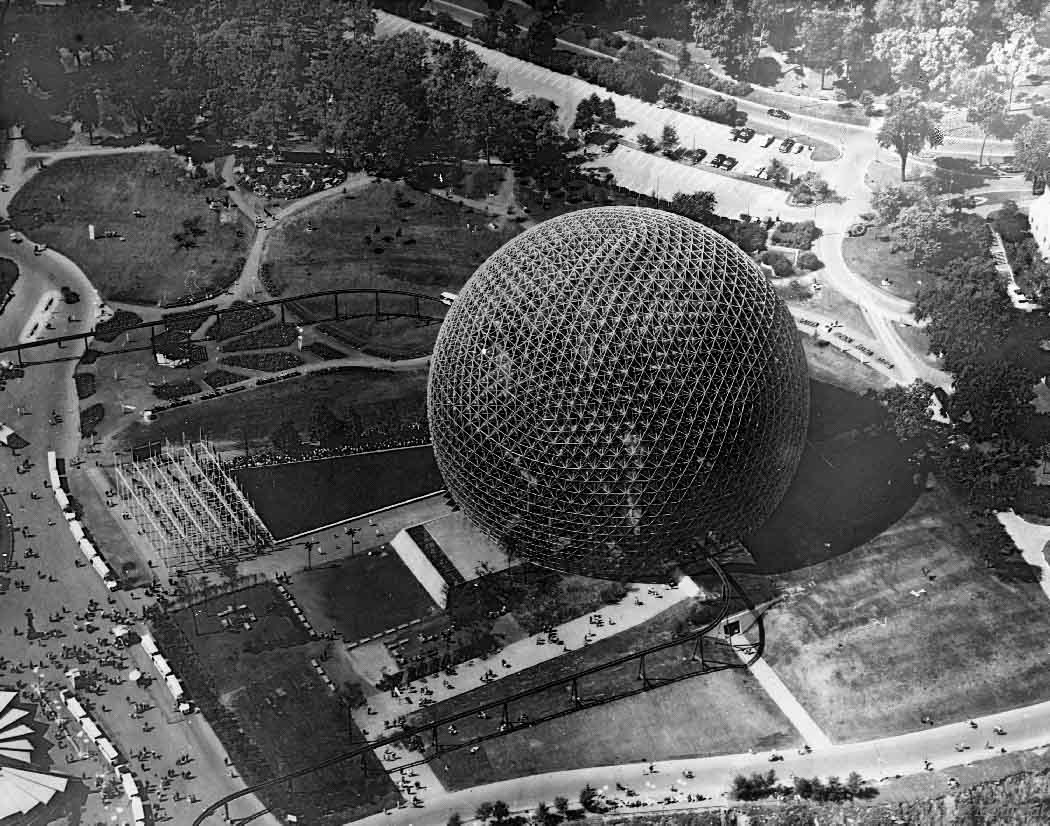
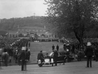
1947 – Photograph of an aerial view of Montréal.1949 – Photograph of downtown Montréal looking southeast. It shows, among other things, the Le Château apartments and the Sun Life building.1950 – Aerial view of Lachine in Montréal.1956 – Photograph showing a view of Mount Royal and surrounding neighbourhoods.1961 – Aerial view of Saint-Helen’s Island.1962 – Photograph showing a modified aerial view of Mount Royal Park. It shows a view of the mountain accompanied by a caption indicating the location of major buildings and roads.1962 – View of the surrounding areas of Place-des-Arts.1963 – Aerial view of the Crémazie metro station area before its construction. We can see in particular the excavation carried out in preparation for the métro.1967 – View of La Ronde and the Expo-Express La Ronde station.1967 – Aerial view of the islands of Notre Dame and Saint-Helen.1967 – Photographic report showing an aerial view of the United States pavilion.
Find more photos from the Montréal archives on their website.
Dalia, a photojournalist hailing from Montreal, is deeply passionate about documenting events and sharing stories about people's lives. She is on track to graduate from Concordia University with a degree in journalism and a minor in art history. Currently, Dalia holds the position of Editor-in-Chief at her school's newspaper, The Concordian. Following graduation, she aims to secure a full-time reporting job at a major news outlet.
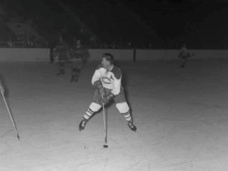
In Montréal, hockey is more than a game—it’s part of the city’s identity. At the heart of it all are the Montreal Canadiens, the NHL’s oldest team, founded in 1909. With a record 24 Stanley […]
En tant que personne qui aime parcourir les images d’archives du passé du Canada, la recherche dans les Archives de Montréal est un réel plaisir. Le site Web contient tellement d’images étonnantes, datant du milieu […]
Passing by Jeanne-Mance Park in the summertime, I can always see people lying out and enjoying the sun. The charm that this park exudes was the inspiration behind this post. In September 2024, it was […]